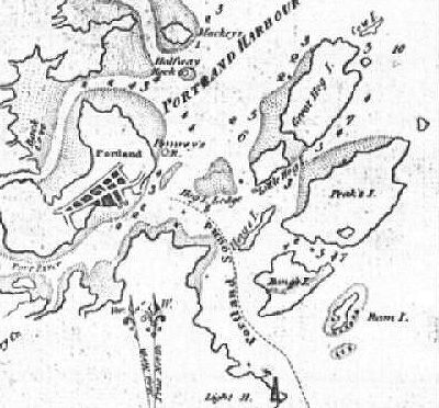
1822-- An early chart of Portland Harbour. Note Portland Head Light in the bottom near the middle. |
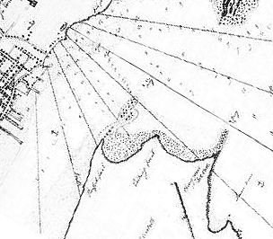
1825 -- This chart made by Capt. Lemuel Moody, shows development in Portland directly across the harbor from what was then Cape Elizabeth. Note the mud flats that will play an important part in the shipyard development. |
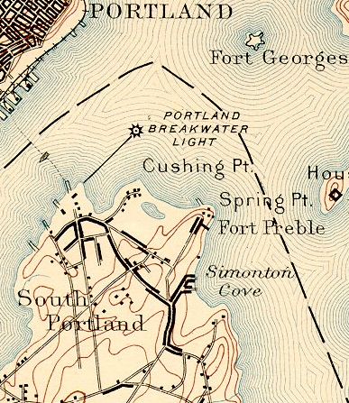
1893 -- The area southwest of the base of the Portland Breakwater Light and Spring Point is where the yards would be built. |
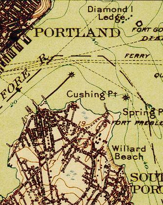
1916 -- Notice the buildup of homes in the area. Also just off Spring Point there is now a lighthouse. |
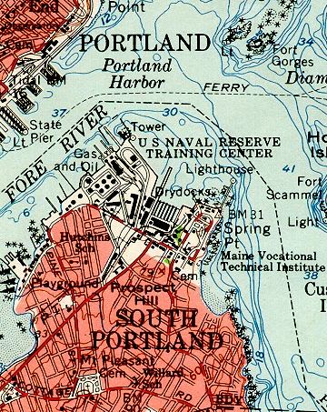
1941 -- Just prior to the building of the shipyards. Major changes will soon take place in this map. |
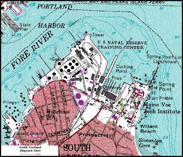
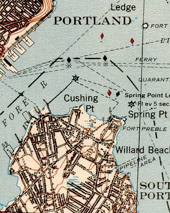
1957 -- Many of the buildings and docks are still evident. Note that Spring Point Light has now been connected to the mainland. |
|
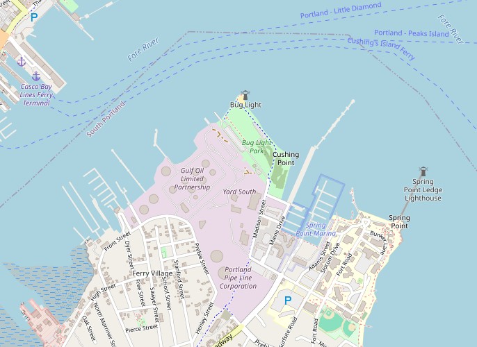
1990 -- The area still shows some of the buildings, but the drydocks of the East Yard are radically altered. Today the area is a marina. |
 2026 -- The area shows almost no signs of the West Yard, and what is left of the East Yard is now a marina. Much of the area is now a city park. |